Accedi
Tutte le risorse
Creare un design
Tools
4.950 Immagini gratuite per Le Scale
architettura
storico
edificio
albero
vecchio
italia
pietre
antico
luce
legno
edificio
fontana
giappone
stampa
religioso
vintage ▾
maschio
gatto
le scale
inverno
stampa
storia
re
acqua
città
pietre
acqua
edificio
libro
architettura
edificio
pietre
storia
villaggio
casa
medievale
storia
architettura
pietre
pietre
nero
pietre
casa
edificio
spazio
architettura
edificio
pietre
storia
architettura
viaggio
entrata
albero
architettura
legno
edificio
libro
viaggio
albero
paesaggio
natura
architettura
castello
edificio
città
modello
pietre
persone
natura
architettura
metallo
new york
globo
italia
roma
cani
luce
illustrazione
proibito
paesaggio
natura
natura
piante
foresta
albero
viaggio
acqua
arrampicata
albero
albero
acqua
paesaggio
albero
architettura
roma
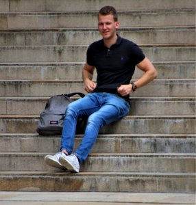
uomo
tipo
posizione seduta
architettura
roccia
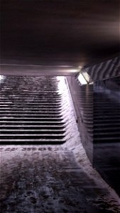
blu
neve
luce
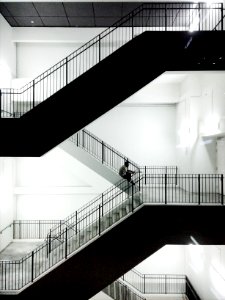
le scale
luce
le scale
livello
donna
uomo
castello
mostro
vintage ▾
albero
illustrazione
bambola
esterni e aria aperta
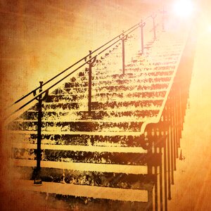
le scale
monumenti
edificio
ornamenti
scultura
architettura
metallo
edificio
scultura
giungla
foresta
paesaggio
edificio
albero
natura
albero
estate
new york
città
architettura
villaggio
monumenti
edificio
viaggio
città
edificio
viaggio
edificio
pietre
4401 - 4500 di 4.950
Pagina successiva
/ 50


![Joanne Guides. Surroundings of Plombières. Scale 10 km. [=Om. 066; 1: 150 000]. L.Thuillier delt, 1889](https://cdn.creazilla.com/illustrations/10001400709/joanne-guides-surroundings-of-plombi-res-scale-10-km-om-066-1-150-000-l-thuillier-delt-1889-md.jpg)
![Joanne Guides. Surroundings of Plombières. Scale 10 km. [= Om. 066; 1: 150 000]. L. Thuillier delt, 1891](https://cdn.creazilla.com/illustrations/10000683074/joanne-guides-surroundings-of-plombi-res-scale-10-km-om-066-1-150-000-l-thuillier-delt-1891-md.jpg)


![Sabinorum et Marsorum agri descriptio. 11; Typus utriusque Latii [...]. 8 / auctore Philippo Cluverio; H. Le Roy fecit, 1624](https://cdn.creazilla.com/illustrations/10001535937/sabinorum-et-marsorum-agri-descriptio-11-typus-utriusque-latii-8-auctore-philippo-cluverio-h-le-roy-fecit-1624-sm.webp)

![The Veluwe, the Betuwe and the County of Zutphe[n] in the Duchy of Guelders taken from several more recent memoirs / By Mr. Sanson; L. Cordier sculp., 1702](https://cdn.creazilla.com/illustrations/10000531011/the-veluwe-the-betuwe-and-the-county-of-zutphe-n-in-the-duchy-of-guelders-taken-from-several-more-recent-memoirs-by-mr-sanson-l-cordier-sculp-1702-md.jpg)


![Jean-Honoré Fragonard – STEPS OF THE VILLA D’ESTE AT TIVOLI [from Fragonard]](https://cdn.creazilla.com/illustrations/7775673/jean-honore-fragonard-steps-of-the-villa-d-este-at-tivoli-from-fragonard-illustr-sm.jpeg)
![Takahashi Shōtei – Fuji-no-mori Forest, Ochiai [from Shotei (Hiroaki) Takahashi: His Life and Works]](https://cdn.creazilla.com/illustrations/7773627/takahashi-shotei-fuji-no-mori-forest-ochiai-from-shotei-hiroaki-takahashi-his-li-sm.jpeg)

![Hasui Kawase – Konjikido in Snow, Hiraizumi [from Kawase Hasui 130th Anniversary Exhibition Catalogue]](https://cdn.creazilla.com/illustrations/7774227/hasui-kawase-konjikido-in-snow-hiraizumi-from-kawase-hasui-130th-anniversary-exh-sm.jpeg)
![John William Waterhouse – Mariamne Leaving the Judgement Seat of Herod [from J.W. Waterhouse]](https://cdn.creazilla.com/illustrations/7774184/john-william-waterhouse-mariamne-leaving-the-judgement-seat-of-herod-from-j-w-wa-md.jpeg)


![Jessie Willcox Smith – She began to mount the stairs which led to the upper floors (In the Closed Room by Frances Hodgson Burnett) [from Jessie Willcox Smith: American Illustrator]](https://cdn.creazilla.com/illustrations/7775046/jessie-willcox-smith-she-began-to-mount-the-stairs-which-led-to-the-upper-floors-md.jpeg)